


The EUDR GIS Auditor is a web-based tool designed to validate, audit, and clean geospatial data, specifically tailored to the requirements of the European Union Deforestation Regulation.
Author: Julio CollazosI help sustainability and supply chain teams validate, map, and document commodity origins — so your geospatial data meets EUDR requirements and survives regulatory scrutiny.
I work with sustainability teams, supply chain analysts, and GIS specialists across the full geospatial workflow — from raw data validation to decision-ready spatial intelligence.
Validate and clean geospatial data for EUDR due diligence submissions. I audit supplier GeoJSON files, fix geometry errors, verify CRS compliance, and produce audit-ready outputs your compliance team can submit with confidence.
Map your sourcing areas at farm-plot level using GPS collection, satellite imagery, and local partner data. I build spatial databases that link commodity origin to processing facilities — ready for EUDR or investor ESG reporting.
Extract land cover change, deforestation alerts, and vegetation indices from Landsat, Sentinel, and Planet imagery. I design analysis pipelines in Google Earth Engine and Python that turn raw satellite data into decision-ready indicators.
Not sure where to start? I help sustainability and supply chain teams understand what spatial data they need, how to collect it cost-effectively, and how to build internal capacity to maintain it — delivered as a structured advisory engagement.
The EUDR GIS Auditor is a web-based tool designed to validate, audit, and clean geospatial data, specifically tailored to the requirements of the European Union Deforestation Regulation.
Author: Julio Collazos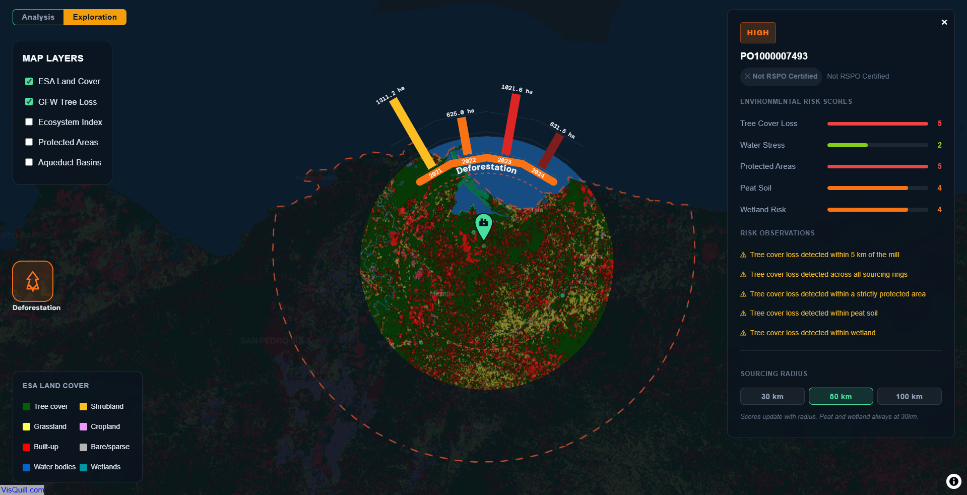
An interactive environmental risk screening tool for palm oil mill suppliers, evaluating deforestation pressure, water stress, protected area overlap, peat soil, and wetland exposure across configurable sourcing radii.
Author: Julio Collazos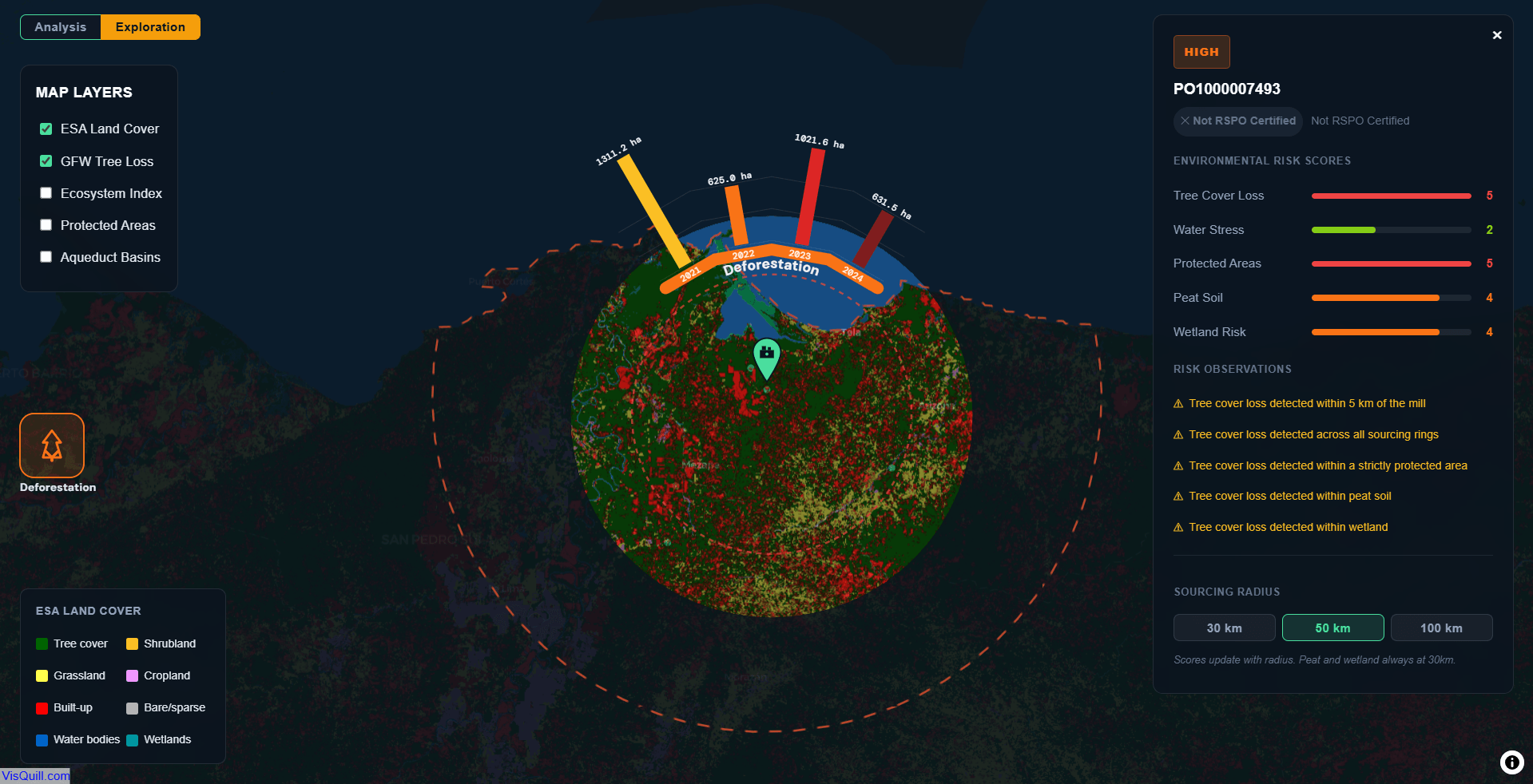
Demonstrates a risk-based supplier screening workflow for deforestation and ecosystem risk. Each mill is evaluated across five environmental dimensions within a configurable sourcing radius: Tree Cover Loss, Water Stress, Protected Areas, Peat Soil and Wetland.
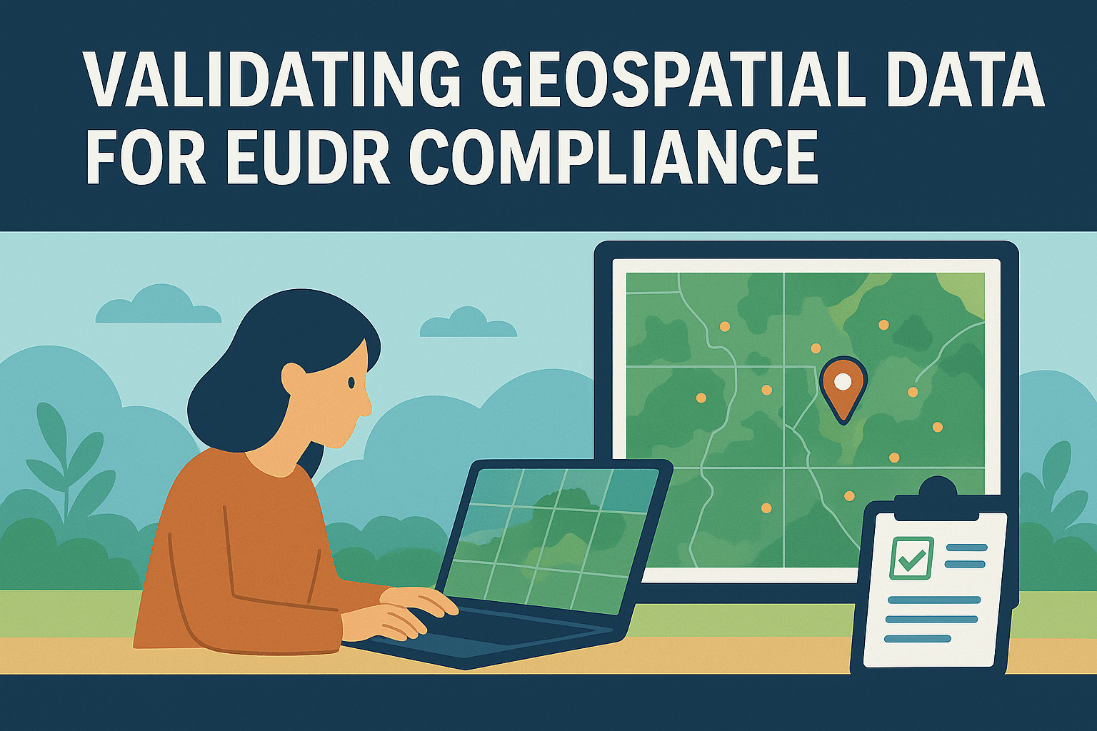
A walkthrough of the algorithmic decisions behind automated GIS data validation — CRS detection, topology correction, and area classification at scale.
A practical guide to GeoJSON format requirements for EUDR compliance: coordinate systems, geometry types, file size limits, and common submission errors.
Let's talk through your geospatial data situation in a free 30-minute call. No pitch, no obligations — just a focused conversation.