
Launcher

Type to filter results. Use arrow keys to navigate, Enter to select.

Preferences

You've reached the end of the results

CartographyCommunicationRisk Assessment

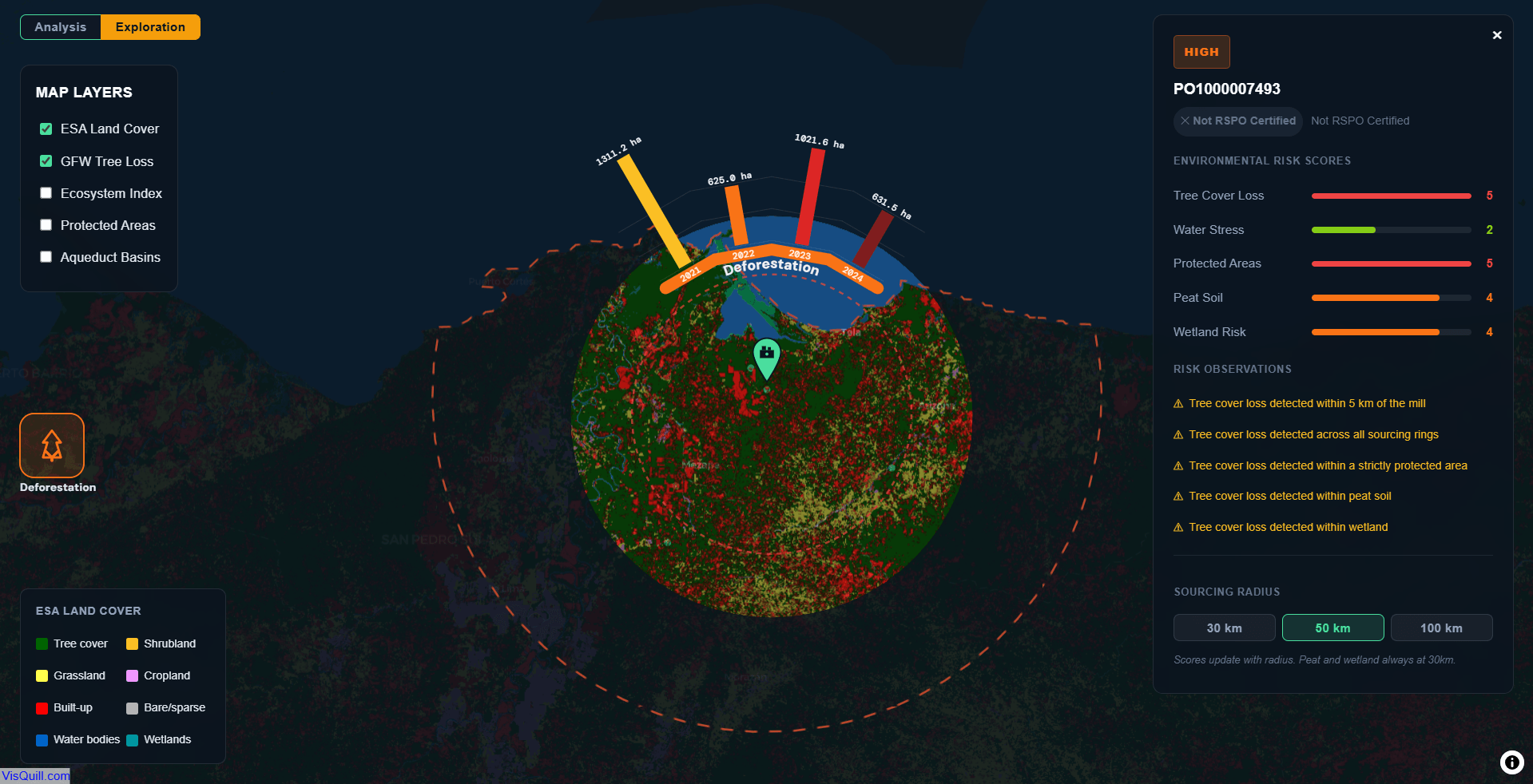
How to measure supplier risk? a GIS approach

Demonstrates a risk-based supplier screening workflow for deforestation and ecosystem risk. Each mill is evaluated across five environmental dimensions within a configurable sourcing radius: Tree Cover Loss, Water Stress, Protected Areas, Peat Soil and Wetland.

EUDRPythonGIS

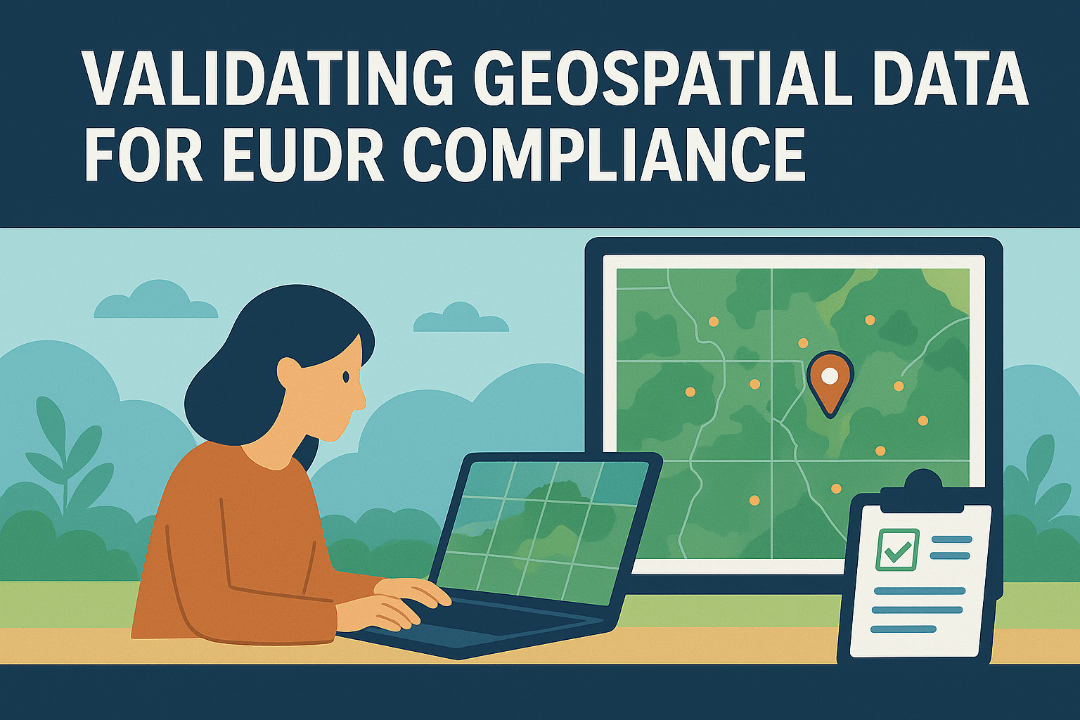
Validating Geospatial Data for EUDR Compliance: A Technical Deep Dive

A walkthrough of the algorithmic decisions behind automated GIS data validation for EUDR — CRS detection, topology correction, and area classification at scale.

EUDRGeoJSONCompliance

GeoJSON and the EU Deforestation Regulation (EUDR)

A practical guide to the GeoJSON format requirements for EUDR compliance: coordinate systems, permitted geometry types, file size limits, and the most common submission errors.